The Saxon Church
In this 2nd chapter about the churchyard, we'll look at the Anglo Saxon church of St Laurence, and it's surroundings in 1011. So to do that, we have to start up on the main road, at Druces hill.
Below is a view from Druces hill towards the dentists. On the left is Abbey mill and the road leading to the footbridge and the church, on the right we see the bottom of Rosemary walk.
Below this image is the same view in 1011.
Below this image is the same view in 1011.
In the image above, on the right, is the path to the Saxon Church (far right). Though it looks like a path, this is actually a main road used by mule trains, at a time when nearly all roads were bridleways.
Up ahead, in the image above, we see a man in a pink tunic, walking towards the Saxon church. Let's look through his eyes and see what he sees.
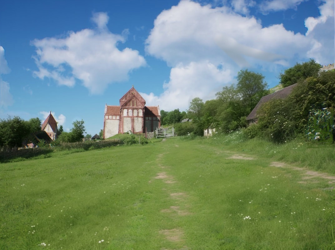
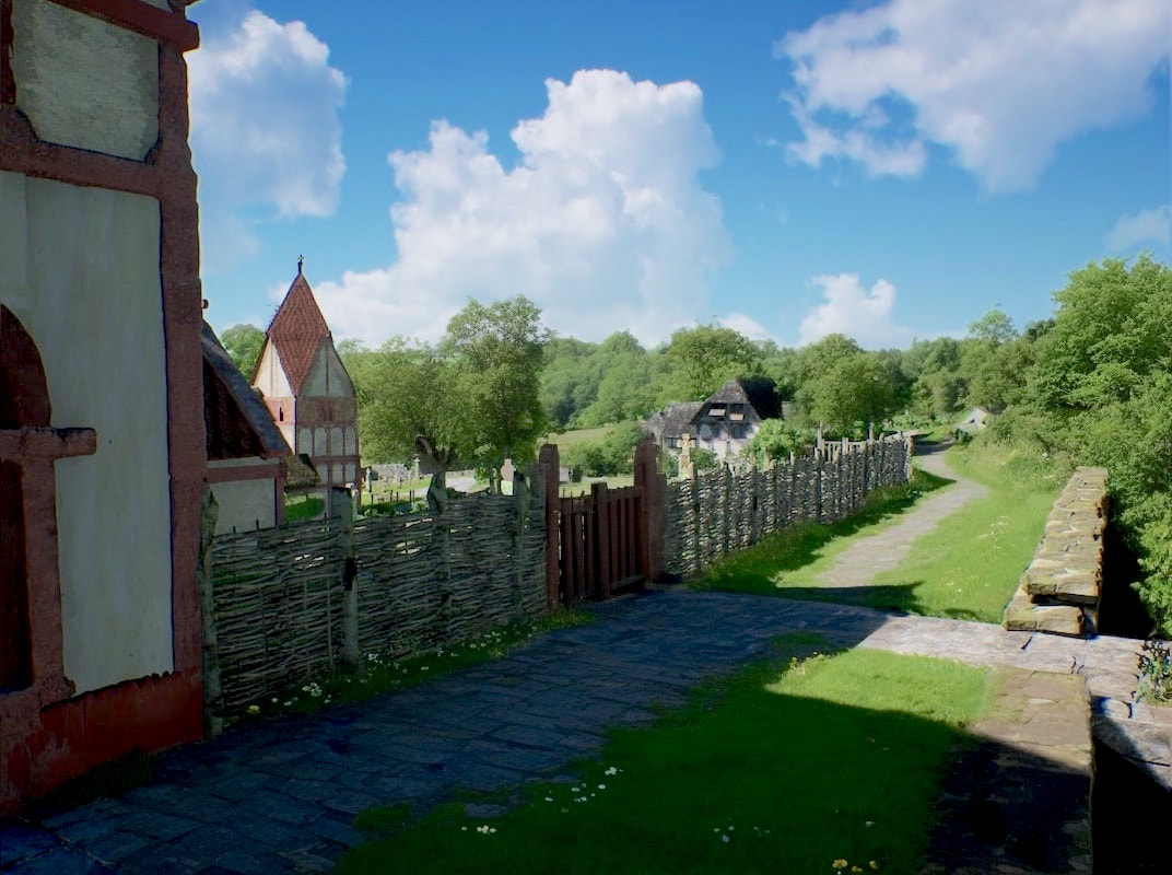
In the image above, we see the man is using the path from the ford. To the right of the Saxon Church, we see the town green stock gate.
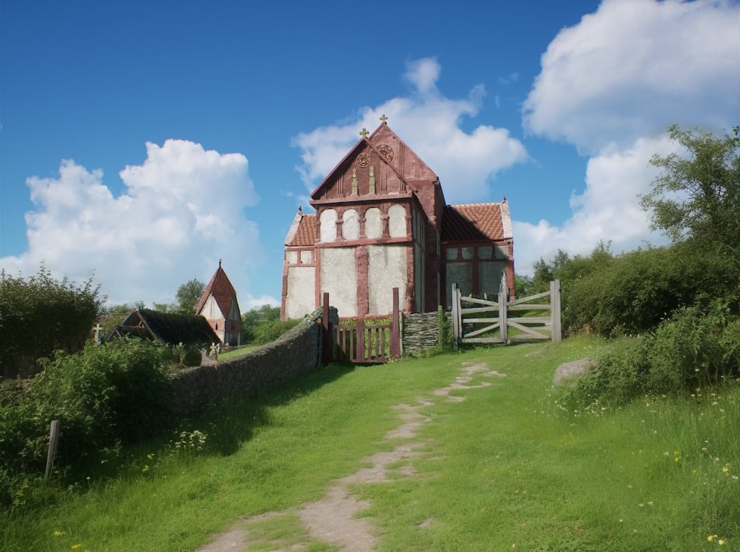
Above, as we get closer, we see the Saxon church is a little bedraggled, as since it was built around 1005 the numerous invasive viking raids suffered by England, have seriously damaged the economy. The Saxon church was commissioned in 1001 and finished no later than 1006, as a refuge in these unstable times, for the bones of a murdered king (Edward the martyr). But the bones never arrived, and the worshipped relics remained in Shaftesbury.
Next, we're going through the stock gate on the right, to what is today the back (north side) of the Saxon church.
Next, we're going through the stock gate on the right, to what is today the back (north side) of the Saxon church.
Below we see a Google street view of the rear (north side) of the Saxon church, and below that the same view in 1011.
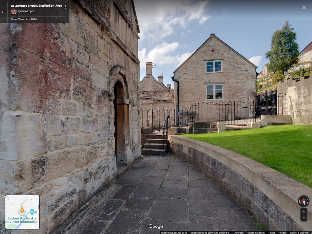
Above, in the 1011 image, we can see 1000 years of landslip have yet to occur. The hill on the right of this image is composed of huge volumes of soil. (As the builders of the Ropewalk sheltered housing scheme discovered, as they had to sink huge concrete piles into the soil to secure the foundations). Now, if this hillside made of tons of soil slips by just 5 mm a year, after 1000 years it will move 5 metres. And that's exactly what it did, as by the 1870s the rear of the Saxon Church was partially buried, and had to be dug out to reduce the levels, so that the doorway we see in the 21st century picture could be used. Before this slippage, in 1011, we can see there's plenty of room for a single width bridle road (double width before the Saxon Church was built) and a drainage ditch.
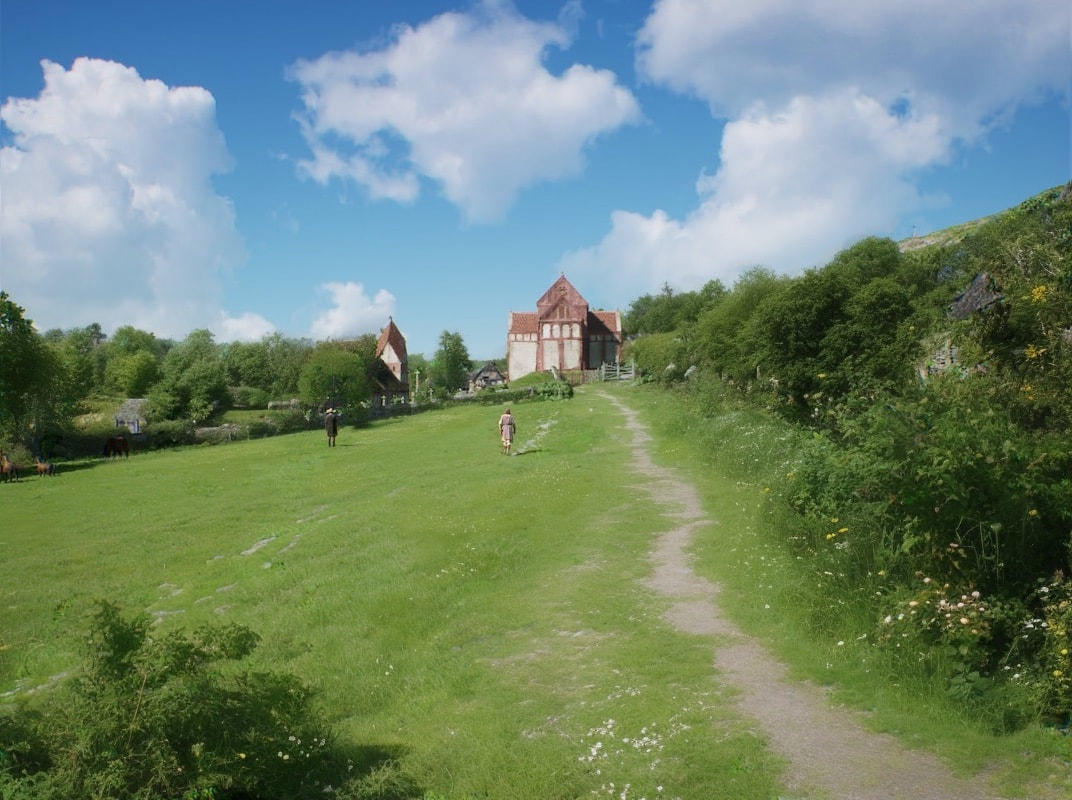
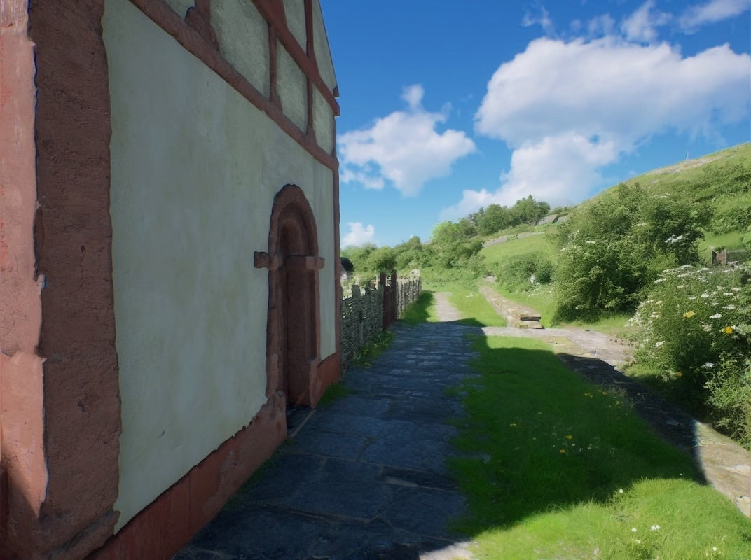
Above, we've moved forward slightly, to see the road bend as it follows the contours of the hillside.

Above, we've moved a bit further down the road and turned around to take this view of the Saxon church. This time in the afternoon light,
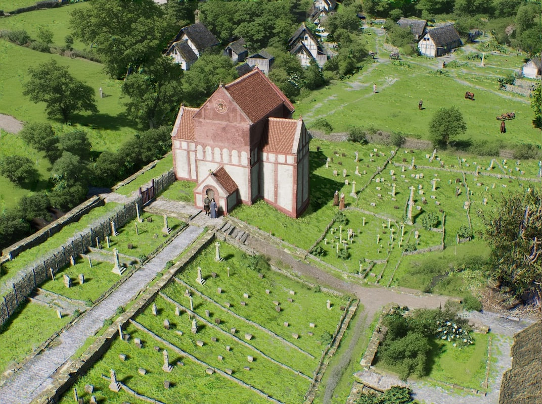
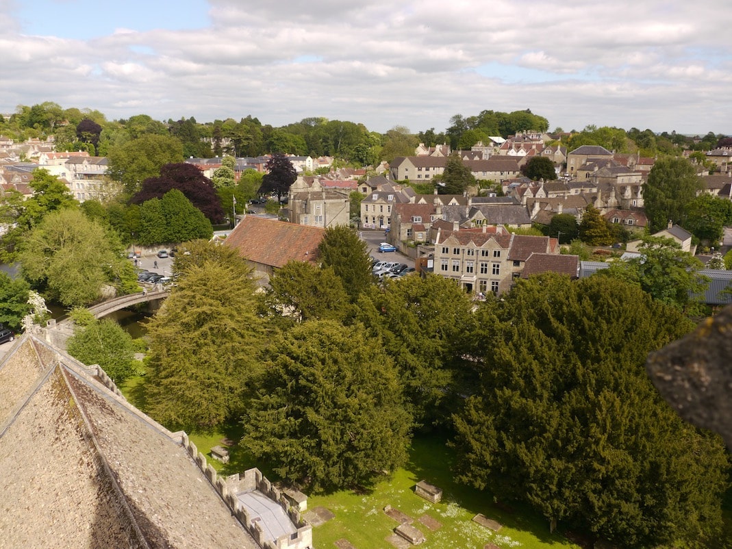
Below is a picture taken from Trinity church tower, and below that is the same Birdseye view in 1011.
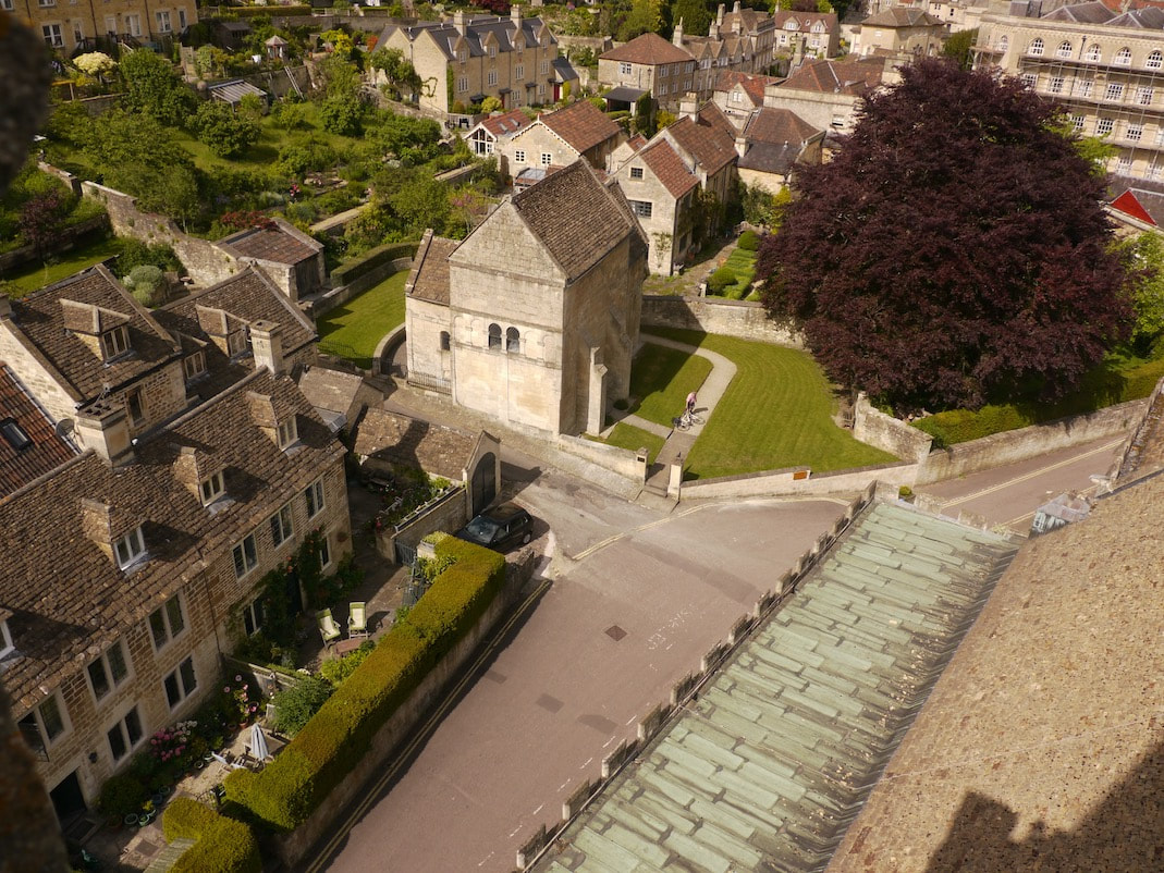
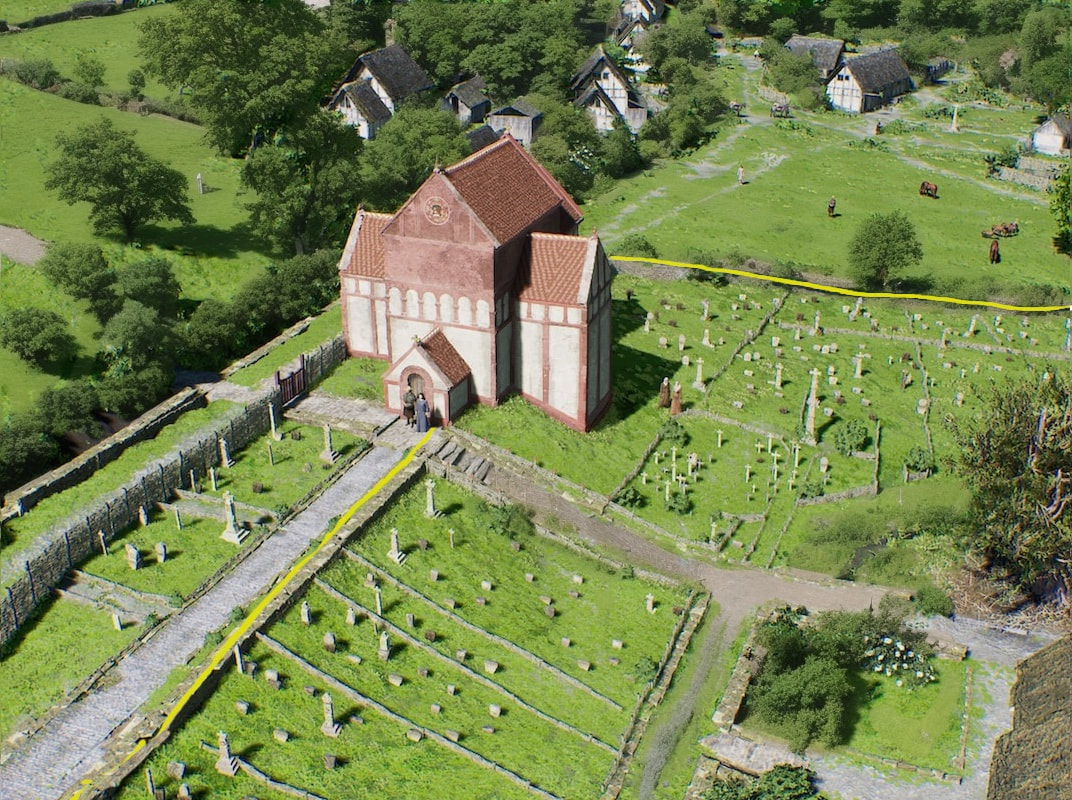
In the picture above, the yellow line marks what I think is the old boundary wall of St Aldhelm's 6th century monastery. Part of this wall (in the top right of this image, close to the Saxon church) was discovered in a dig by archeologist Adrian Powell. (1)
In the 6th century, immediately to the left (north) of the monastic boundary wall that I've marked in yellow, I think there would have been a small roadside cemetery. (Cemeteries were placed outside monastic boundaries at the time). The Saxon Church straddles the boundary wall, takes up all the space the roadside cemetery provides, and uses the king's prerogative to also take all the roadside verge, allowing enough width in the road for a single mule train to pass it. It's so I think they fitted St Lawrence church/reliquary into the site
In the 6th century, immediately to the left (north) of the monastic boundary wall that I've marked in yellow, I think there would have been a small roadside cemetery. (Cemeteries were placed outside monastic boundaries at the time). The Saxon Church straddles the boundary wall, takes up all the space the roadside cemetery provides, and uses the king's prerogative to also take all the roadside verge, allowing enough width in the road for a single mule train to pass it. It's so I think they fitted St Lawrence church/reliquary into the site
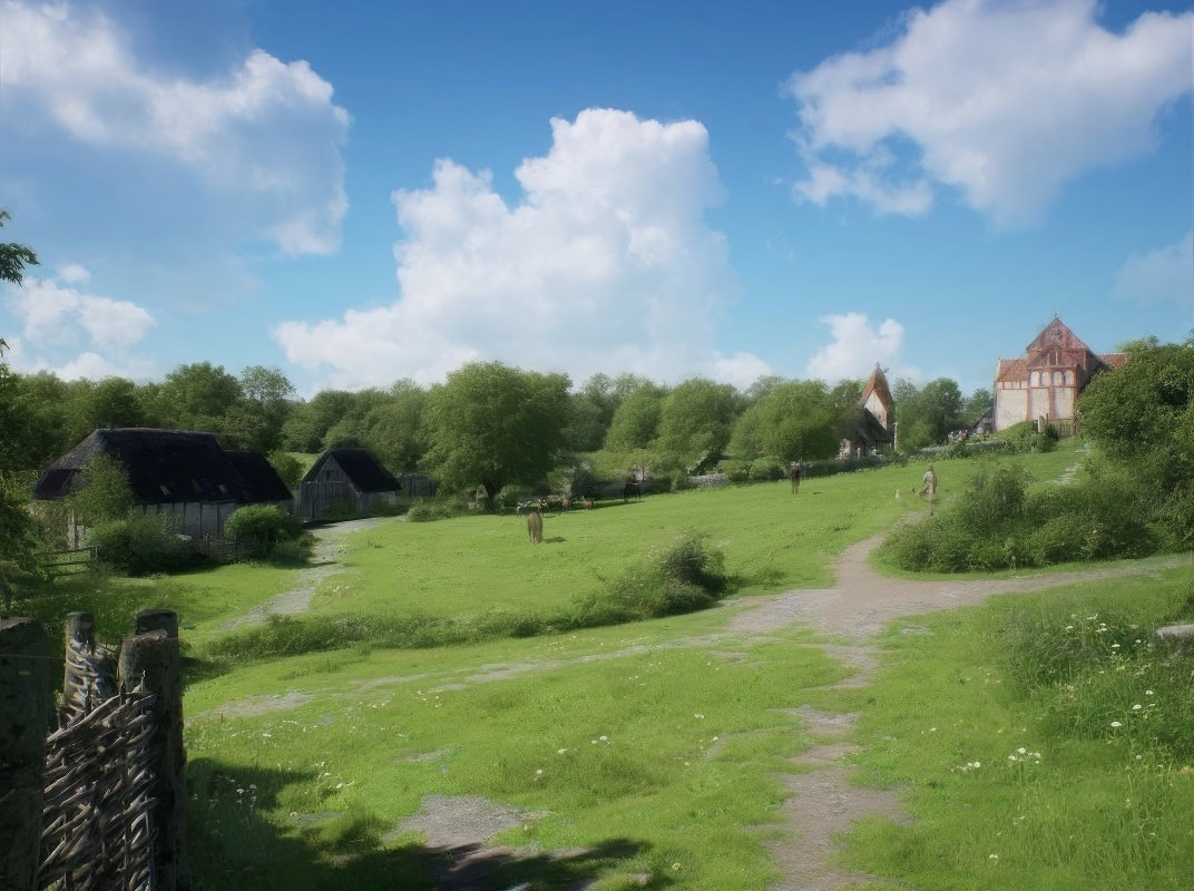
While we're up the church tower, below is a picture looking south west over to St Margaret's hall, and below that, is the same view in 1011.
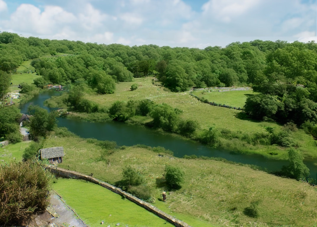
Above we see mostly water meadows, woodland and some pasture. This is basically Bradford on Avon's building plot :)
Below we see a Google street view of part of church street, showing the old vicarage on the left, and the image below that is the same view in 1011.
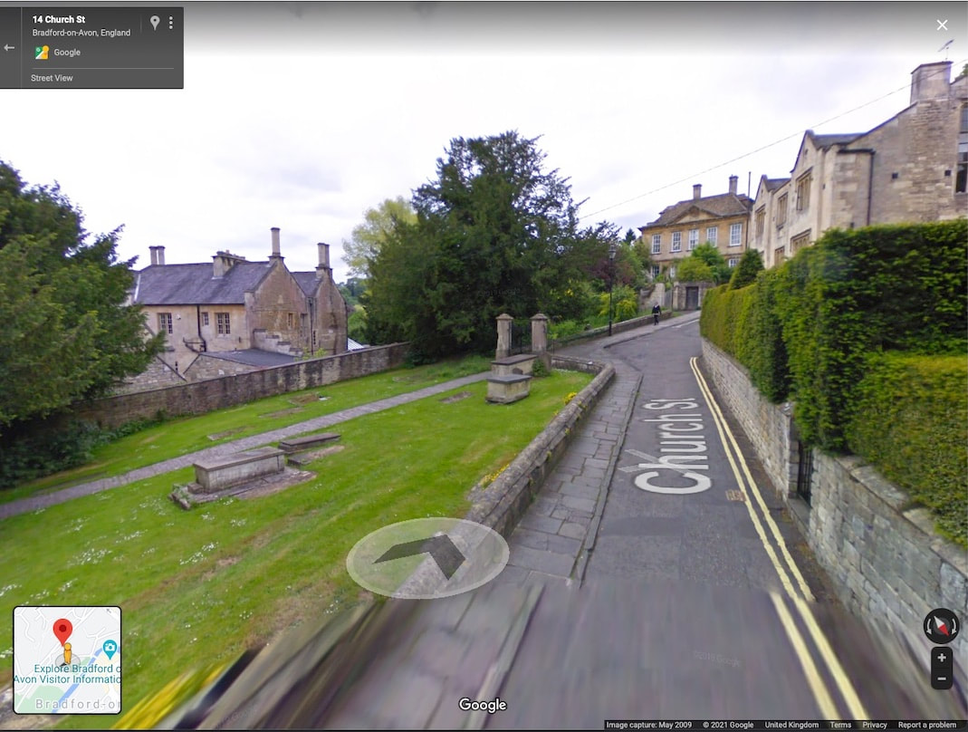
I figured that the priests house needed to be higher up the slope, near the road, to avoid flooding, and be in a place, where the soil had sufficient depth, to sink post holes, that could take the king posts that supported the structure. Behind it, out of our view is a range of ancillary buildings that are also near the road and well away from the flood plain.
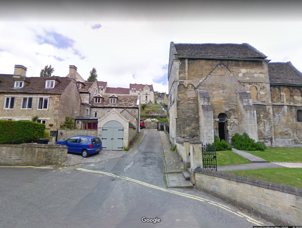
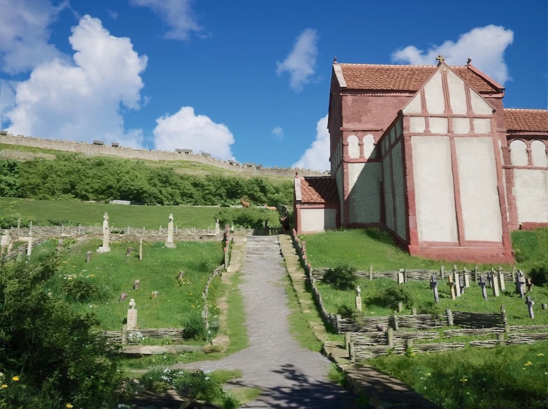
Below we see a Google street view of the current front (south side) of the Saxon church, and below that, the same view in 1011.
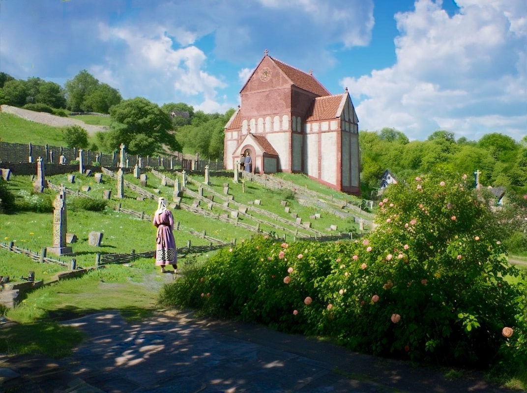
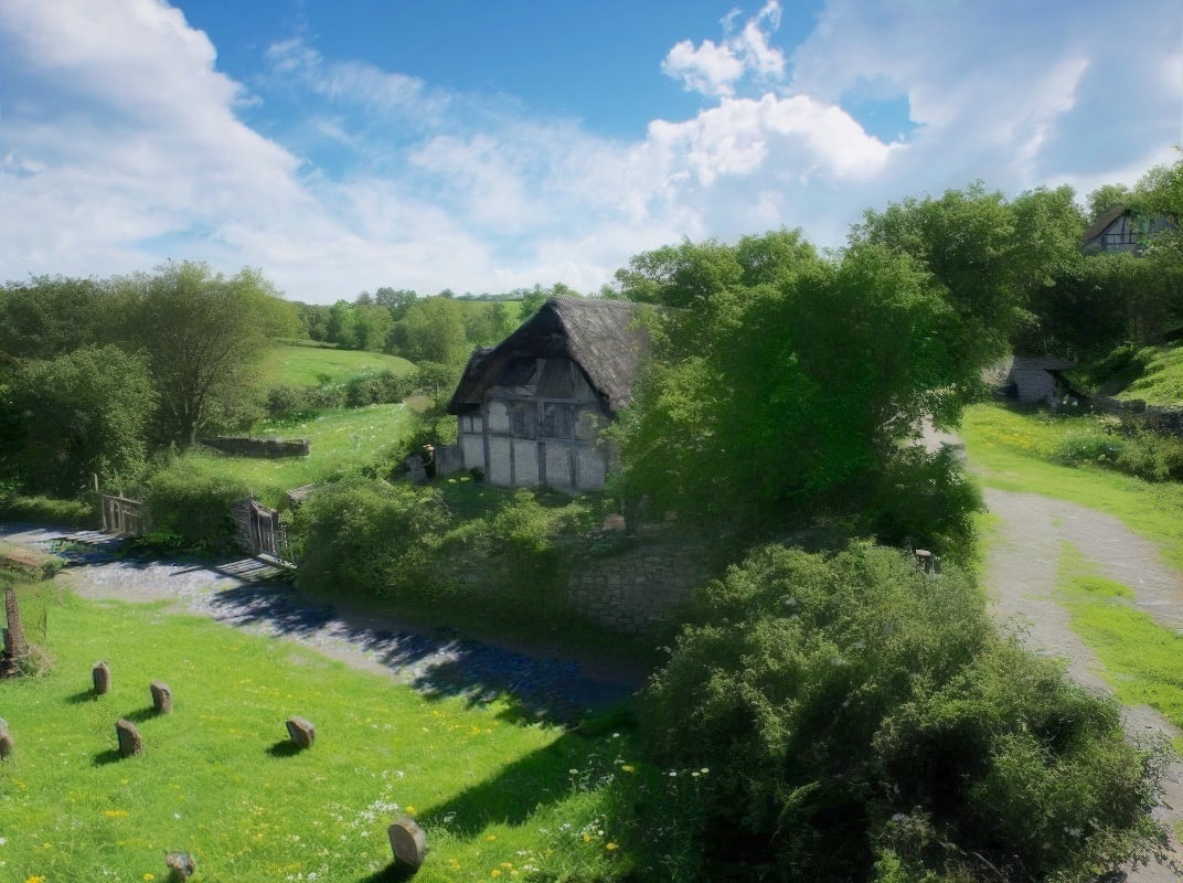
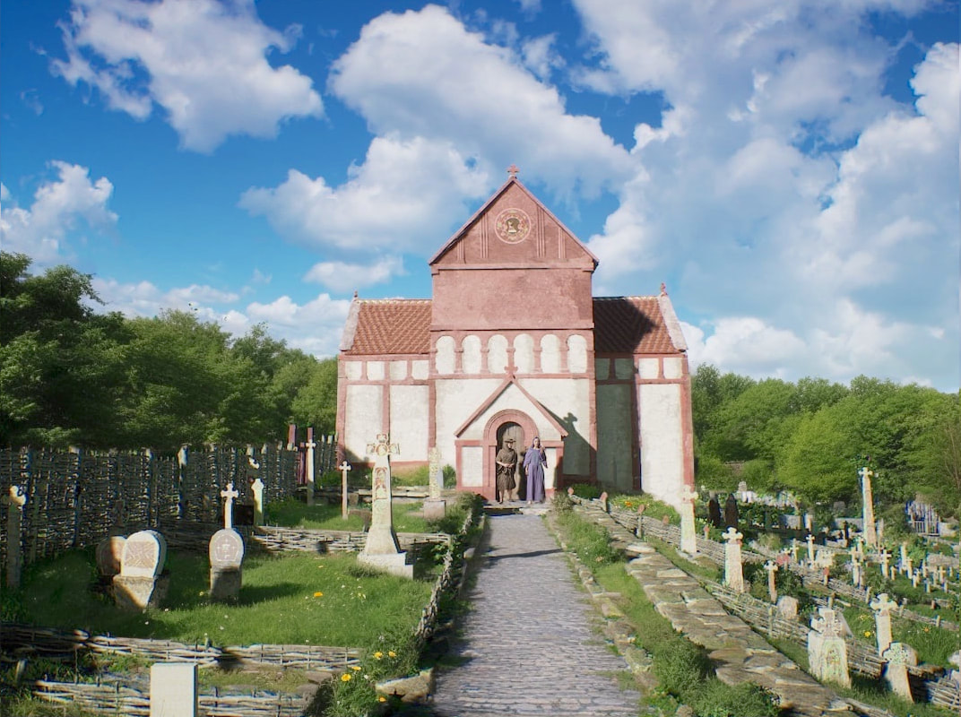
Below we see a view of the Saxon church from Glebe cottages, and below that the same view in 1011.
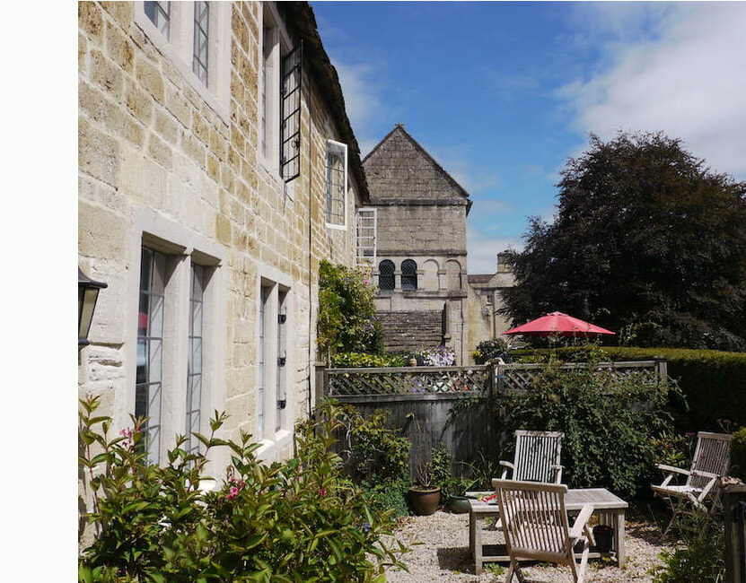
Above, the gravestone immediately to the left of the porch in the above image marks the grave that was excavated by Adrian Powell.
In his report he also documented other grave finds found under Glebe cottages. (2) and I've used it to position a few of the graves on the left.
In his report he also documented other grave finds found under Glebe cottages. (2) and I've used it to position a few of the graves on the left.
Anyway, from here the next stop is Lady well
Citations (I've just started adding these, more to follow)
These numbers ST86SW402 are Wiltshire history centre case numbers. The reports they describe can be viewed at Wiltshire history centre, Cocklebury road, Chippenham SN15 3QN. Some, but not all of the case locations can be seen on their online historical record.
(1) Excavation around dovecot in Horton house garden revealing old boundary wall foundations, by Adrian Powell, commissioned by the Seagate's of Horton house. As yet unpublushed.
(2) ST86SW402 Glebe Cottage Garden, Bradford on Avon
Other reference material used in this page
MWI76483 Excavation and Fieldwork at Trinity church in 2015
(2) ST86SW402 Glebe Cottage Garden, Bradford on Avon
Other reference material used in this page
MWI76483 Excavation and Fieldwork at Trinity church in 2015
