Rosemary Hill
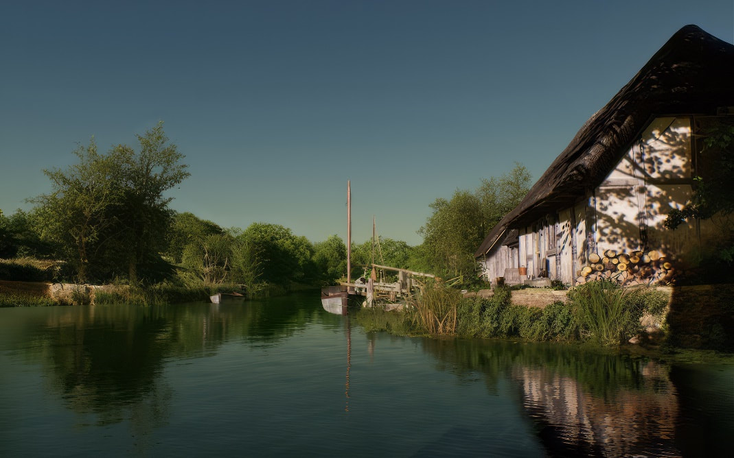
In the image below it's 6.30 am on a summer morning, at the port and ford of Bradford on Avon in 1011, looking across to where Saint Margaret Hall is now. This is our destination in the next chapter, but to get there, we need to use Rosemary hill and that means we start at the Conigre.
Well, Newtown to be more precise, at the top of Rosemary walk.
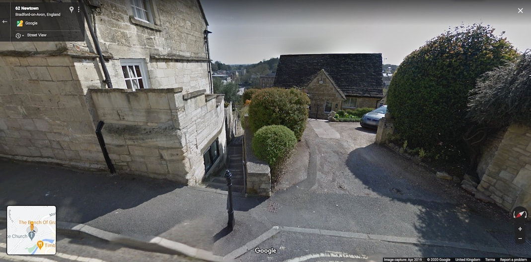
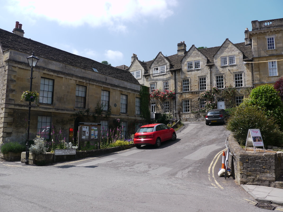
The Google street view image below shows where I think the bottom of Conigre hill met the top of Rosemary walk, before Conigre hill's perilously steep diversion.
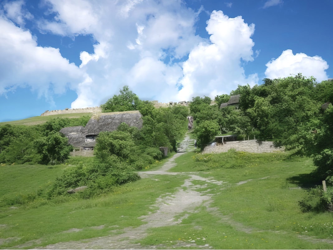
The next picture below this is roughly the same view in 1011.
The Google street view image below shows where I think the bottom of Conigre hill met the top of Rosemary walk, before Conigre hill's perilously steep diversion.
The next picture below this is roughly the same view in 1011.
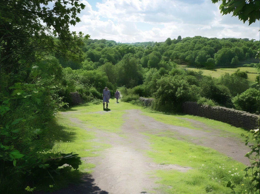
Above in this 1011 image we see that the road running across the bottom of the picture, is the one that preceded Newtown. It was slightly lower down the slope, and I think provided access for materials and equipment in the construction of Newtown. It seems redundant parts of this old road were used as a ropewalk, and rope was made there for many years.
Anyway, in the image above we see two walkers using what I'll call Rosemary hill.
Today, Rosemary walk starts down the hill, at the same angle as Rosemary hill did, but then bends to the right on a steeper trajectory, I think the original Rosemary hill was straight without bends and took the slope at the original more agreeable angle for mules, all along it's length, terminating at Druces hill, as illustrated in the next two images.
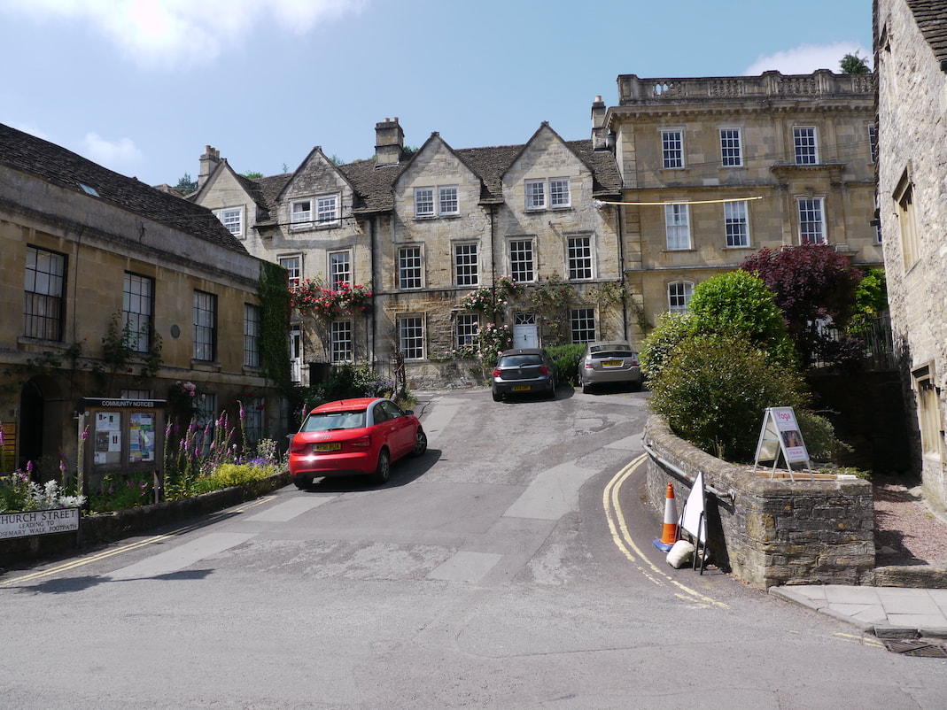
Below the lovely Druces hill today and
below that the same view in 1011.
Anyway, in the image above we see two walkers using what I'll call Rosemary hill.
Today, Rosemary walk starts down the hill, at the same angle as Rosemary hill did, but then bends to the right on a steeper trajectory, I think the original Rosemary hill was straight without bends and took the slope at the original more agreeable angle for mules, all along it's length, terminating at Druces hill, as illustrated in the next two images.
Below the lovely Druces hill today and
below that the same view in 1011.
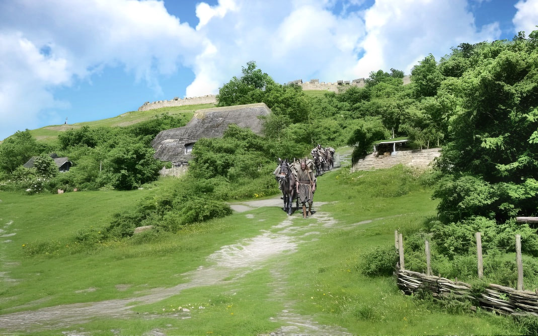
In the shot above we can see a mule train coming down Rosemary Hill in the distance. We can also see Budbury hill fort, right at the top of the slope sitting above Tory.
In the image below we see a slightly different angle, and
below that the same view in 1011
In the image below we see a slightly different angle, and
below that the same view in 1011
Above we see the mule train coming out onto Druces hill, on it's way to the port or to cross the ford and on to Trowbridge or Frome.
